01Great Lakes Region
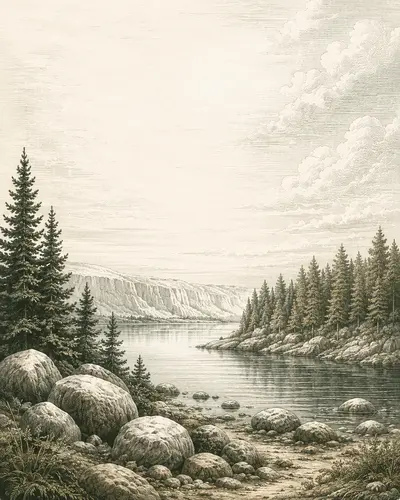
How early did people reach the Upper Midwest?
Could evidence of pre-Clovis or earliest Paleoindian occupation remain unrecognized in glacial landscapes, local find histories, and private collections?
The Ancient Landscapes Project investigates archaeological and paleontological puzzles by pairing artificial intelligence with field expertise and firsthand knowledge from local communities.
WHY THIS PROJECT EXISTS
Archaeology and paleontology encompass enormous landscapes and spans of time, but the people, funding, and access available to investigate them are limited. Promising clues remain scattered across private land, family collections, local stories, forgotten maps, difficult terrain, and datasets that were never designed to work together.
Many worthwhile questions remain underdocumented—not because they lack merit, but because no one has yet had the time, resources, access, or tools to pursue them. The Ancient Landscapes Project exists to investigate those gaps through disciplined citizen science. Some of the questions we are currently pursuing include:
Could evidence of pre-Clovis or earliest Paleoindian occupation remain unrecognized in glacial landscapes, local find histories, and private collections?
Could undiscovered submerged sinkholes preserve archaeological or paleontological time capsules dating to the last Ice Age or earlier?
Could unmapped deposits preserve mammal communities older than the region's presently documented fossil record?
OUR RESEARCH MODEL
Our approach to investigation combines traditional techniques with local testimony and frontier artificial intelligence tools. Our advantage is not a single technology. It is the way we transform scattered human knowledge and disconnected evidence into structured, testable research.
Local testimony, family lore, private collections, historical maps, archival references, field notes, place names and prior find reports.
Searchable, georeferenced records linking each claim to its source, location, time, geology and environmental context.
AI-assisted pattern analysis and ancient-landscape reconstruction rank the places where evidence is most likely to remain preserved.
Permission-based fieldwork, contextual documentation and referral to qualified specialists when findings warrant further study.
HOW WE DO IT
We build each research workflow around the evidence available and the question being tested—connecting firsthand knowledge, historical records, landscape reconstruction, predictive analysis, and field documentation within one research framework.
Local testimony, private collections, archival records, historical maps, and environmental evidence are organized into a connected research record.
Past shorelines, waterways, wetlands, glacial margins, and ecological conditions are reconstructed to understand where evidence may remain.
AI-assisted analysis evaluates source reliability, identifies recurring patterns, and ranks places where responsible investigation may be productive.
Sonar, remote sensing, photogrammetry, GPS, and repeatable documentation preserve observations for specialist review and future research.
LANDOWNER PARTNERSHIPS
You know your land in ways no map, model, or visiting researcher can. A family story, recurring surface find, unusual spring, exposed bank, sinkhole, fossil bed, private collection, or unexplained feature may help answer a much larger question.
We invite landowners to participate as partners in responsible citizen science—not simply as gatekeepers to a site. Your observations, history, and familiarity with the property are part of the research.
We never enter private property without permission. Reports, collections, identities, and precise locations remain confidential unless the owner explicitly authorizes disclosure.